
Hurricane Lee narrowly missed the coast of New England over the weekend as it fizzled into a post-tropical cyclone and eventually died in the Gulf of Maine.
According to MyRadar, an international meteorological firm, Lee peaked as a Category 5 hurricane, the highest grade of hurricane on the Saffir-Simpson hurricane wind scale, before slowly growing and later disintegrating as it made its way toward the Atlantic coast of the U.S.
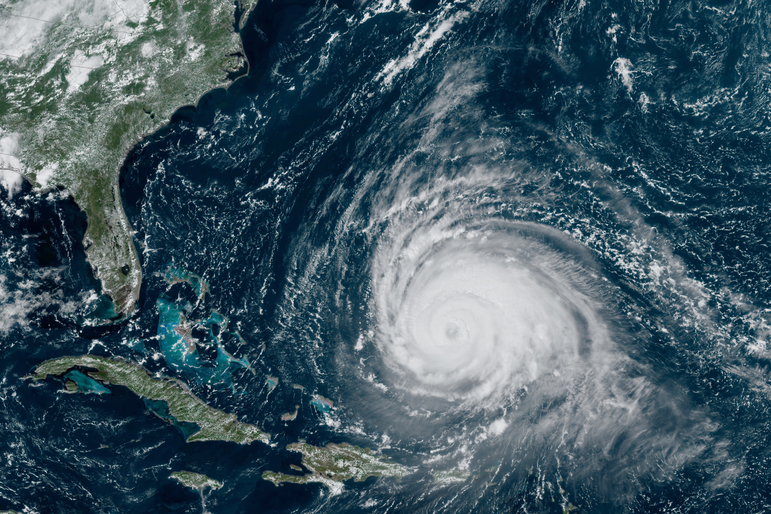
Lee’s growth to a Category 5 storm, which happened over the course of 24 hours, made the storm the third-fastest intensifying Atlantic hurricane on record. A strong south western breeze filled the storm’s eye with clouds as it moved into the Gulf Stream, making the system become asymmetric and lose power.
The system went through an eyewall replacement cycle, a meteorological phenomenon where a weak storm eye is replaced by a larger, stronger eye, which causes the storm to expand in size while diminishing in strength.
While a number of models had the storm making landfall in coastal New England, a combination of Gulf Stream winds and a system moving eastward from the Great Lakes region pushed the storm offshore. The storm made landfall in Nova Scotia as a post-tropical cyclone and made its way north toward Prince Edward Island and Newfoundland. As of Tuesday, remnants of the storm still remain in the Gulf Stream as the southwesterly breeze pushes the cells toward Europe.
While the storm did not make landfall in Rhode Island, effects were felt in coastal areas of the state as intense winds and waves rocked Rhode Island’s shores over the weekend.
As surfers flocked toward Newport, Narragansett and Matunuck to surf the unseasonably high waves brought forth by the storm, three swimmers were rescued at Narragansett Town Beach after being pulled offshore by a rip current. Strong northerly breezes caused by the counterclockwise rotation of the system rocked Rhode Island’s southern coasts Friday and Saturday, forcing offshore workers to seek refuge in Narragansett Bay before returning to work Sunday.
The University of Rhode Island only issued one statement regarding the storm, focusing on the National Weather Service’s Coastal Hazard Message and urging students not to swim. However, students living in southern Washington County were at an increased risk for flooding and power loss.
Rhode Island Energy sent a memorandum to its customers urging those in potentially affected areas to prepare for power outages, though no significant loss of power occurred in Washington County.
Hurricane Lee’s historic expansion to a Category 5 hurricane comes during a summer of unprecedented climate catastrophes. According to the National Weather Service, only two hurricanes that have expanded faster than Lee have both occurred in the past two decades, and the 2023 Atlantic hurricane season, which will end on Nov. 30, has been an above-average season. So far, the six Atlantic hurricanes of the season have caused 14 fatalities and an estimated $2.29 billion in property damages.
The 2023 hurricane season has also converged with the unprecedented wildfires in eastern Canada and Maui wildfires. According to the National Oceanic and Atmospheric Administration, there have been 23 climate and weather-related catastrophes that each cost over $1 billion dollars in the United States this year.